
FROM SATELLITE IMAGES TO REAL-WORLD IMPACT FOR ODISHA’S FARMERS
How can satellite data and research help address the practical challenges faced by smallholder farmers?
In Odisha, IFPRI’s collaboration with Dvara E-Registry is showing how research and technology can move beyond analysis to create practical solutions for farmers who are often underserved by traditional financial and agricultural systems.
By combining satellite-based insights with local knowledge and innovative approaches to agricultural risk, the partnership has opened new possibilities for reaching marginalized farmers, strengthening resilience, and translating research into impact on the ground.
But the real story is not simply about technology. It’s about how collaboration helped turn an ambitious idea into something that could make a difference in farmers’ lives.
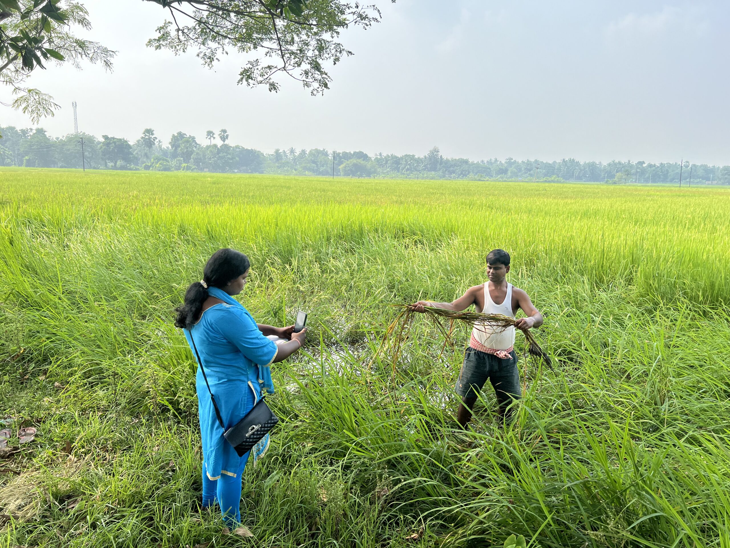
How did satellite imagery help open these new doors, and what can others learn from the experience?
Read the full IFPRI Making a Difference story by Berber Kramer, Senthil Kumar Sankararaju, and Tarun Katoch:
https://www.ifpri.org/blog/from-satellite-images-to-real-world-impact-how-ifpris-collaboration-with-dvara-opened-new-doors-for-odishas
Banner photo credit: Dvara E-Registry/Senthil Kumar Sankararaju